1) Native data, regular updates
The Zenith map is based on accurate urban data, official sources and proprietary monitoring and is optimized for Iran; details that are either missing or not of the required quality in international maps.
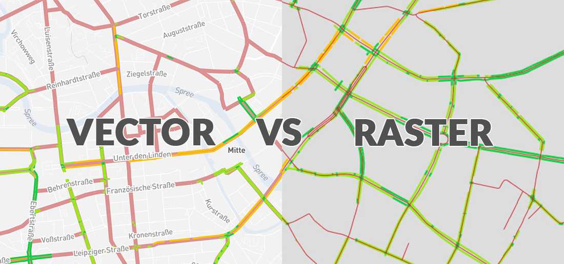
2) Lightweight, fast and compatible with all platforms
Vector Tiles make the map load quickly even on weak internet, and panning, zooming and changing layers can be done without delay.
3) Customizable design
The map can be displayed according to your brand’s visual identity:
Light, dark theme or a dedicated style for banks, stores, organizations and municipalities.
4) Suitable for web, mobile and enterprise systems
Zenith basemap can be integrated into all tools:
Mobile applications
Management dashboards
Websites
City monitoring systems
Logistics and fleet systems
5) Accurate, scalable and ready for spatial analytics
This map works seamlessly with Zenith’s specialized layers (population, economy, crisis, etc.) and is a powerful foundation for spatial analytics and spatial intelligence.