Fixed map, map tiles, styling and offline packs.
Converting addresses and coordinates, identifying provinces and cities based on postal codes, and administrative boundaries.
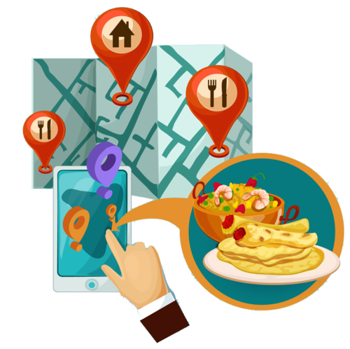
Search for locations, trades, categories, and get location information.
Population, economy, poverty, environment, crisis, and specialized layers.
Buffer, heat map, spatial connectivity, regional analysis and market potential.
Spatial analysis with prompts, location suggestions, predictions, and identification of unusual patterns.