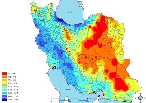
Zenith Spatial Analytics is a powerful and intuitive set of tools that allows you to explore patterns, densities, coverages, and relationships between geographic data. With capabilities like Heatmap, Buffer, Density Analysis, Overlay, and Layer Comparison, you can explore data behavior on a map, identify hotspots, and make informed decisions.
This section is for users, operations teams, and organizations that need to see, measure, and compare data behavior in space before making decisions.
Key uses:
Identify hotspots (population, sales, incidents, customers)
Measure coverage and reach
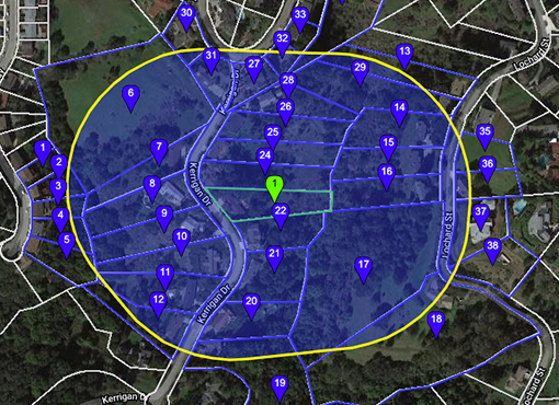
Compare multiple layers to select the best location
Analyze demand, risk, or potential at the urban level