Spatial Intelligence
Spatial analysis beyond GIS; intelligent, prompt-based, and understandable for everyone
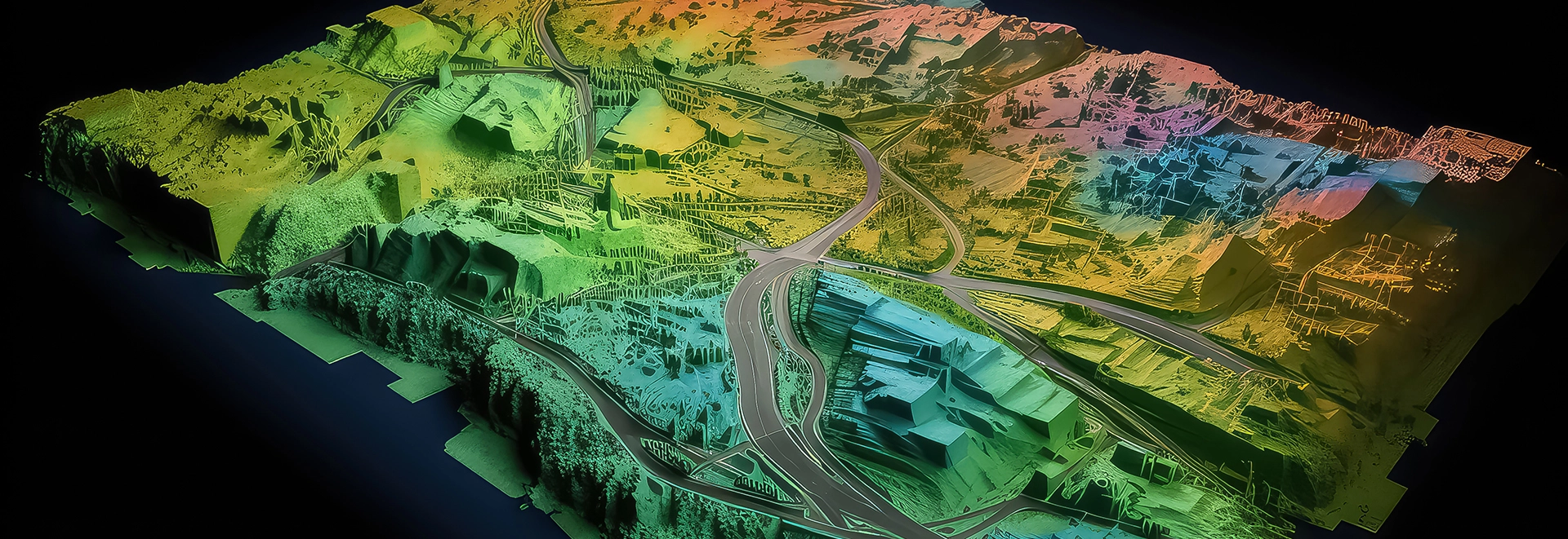
Zenith Spatial Intelligence is a new generation of spatial analytics that combines specialized data, AI models, and natural language processing to transform spatial analysis from a complex GIS task into a simple and understandable experience. Just write a prompt; Zenith performs the analysis, combines the layers, and presents the result on a map.
Example:
“Suggest the best neighborhoods to open a branch with high purchasing power and low risk.”
“Compare the density of competitors and the population growth rate of region 5.”
“Show areas that have both good accessibility and low traffic.”
This capability goes beyond classic GIS tools and is designed for managers, decision makers, analysts, and even non-specialist users.
Key Features:
Prompt-Based Spatial AI
Automatic interpretation of layers and presentation of final analysis
Intelligent suggestion of locations, patterns and solutions
Ability to answer complex questions without the need for GIS knowledge
Localized GeoAI engine for Iran
Zenith Spatial Intelligence = Intelligent, conversational and decision-ready spatial analysis.