Zenith Specialized Layers
An accurate picture of Iran's reality, at a glance
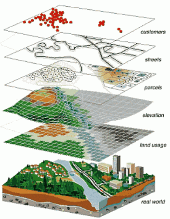
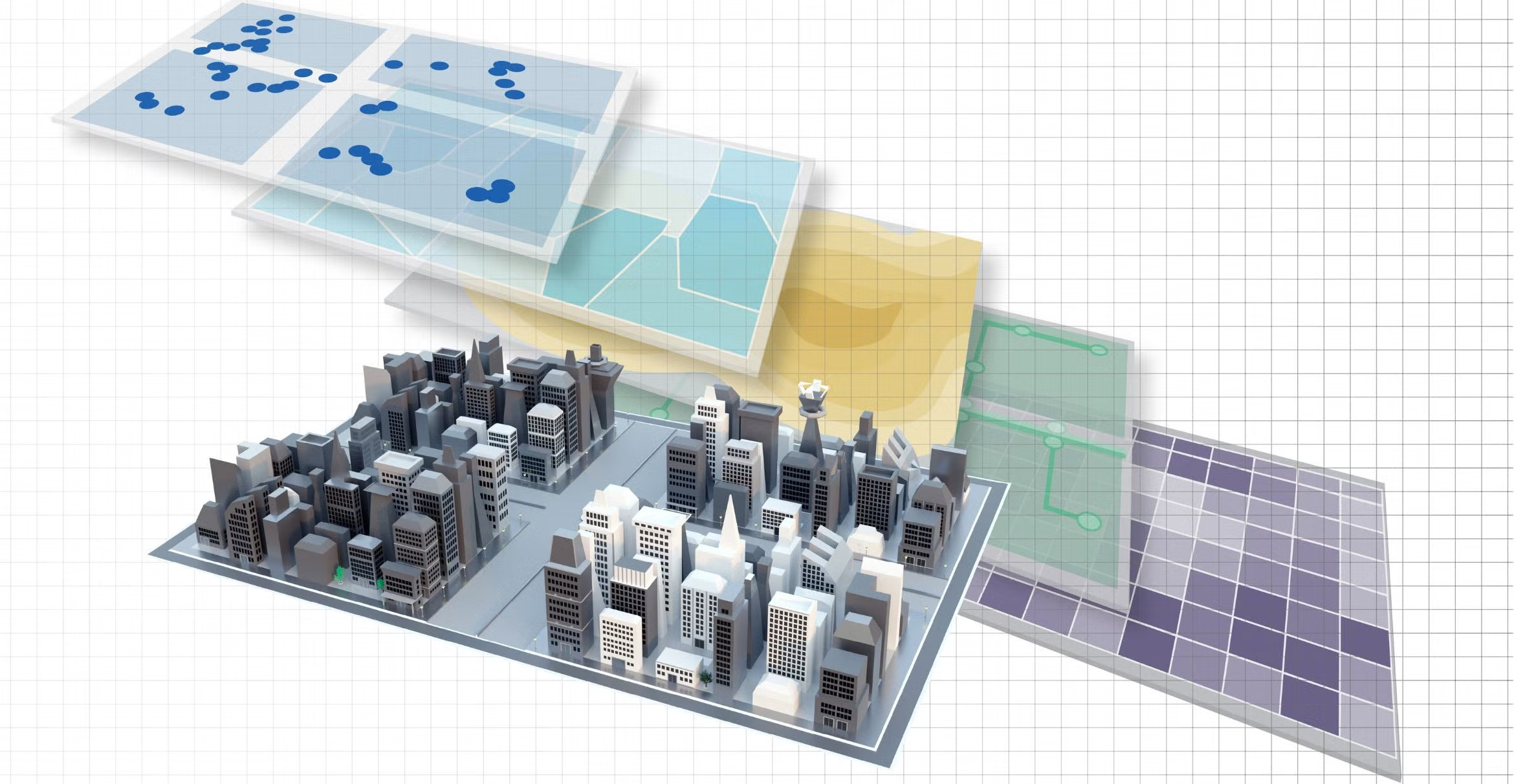
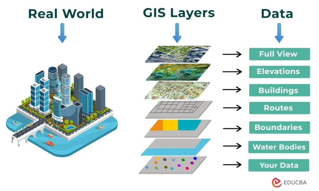
Zenith’s specialized layers are a collection of native, reliable, and up-to-date data that provide deep insights into a country’s economy, population, utilities, environment, and infrastructure. These layers provide a powerful foundation for market analysis, urban planning, risk assessment, business development, and organizational decision-making.
From economic geography and banking networks to population distribution, health, crisis, energy, transportation, agriculture, and the environment, Zenith brings together data so you can see the real world on a map with unparalleled accuracy and make better decisions.
Areas of specialized layers
1) Economics and Business Development
Key data for understanding the market and analyzing business behavior.
Including:
Business locations and guilds
Economic zones and activity concentrations
Analysis of competitors and development opportunities
Identification of suitable points for investment
2) Urban and rural services
Display and analysis of urban infrastructure and public services.
Including:
Waste collection routes
Urban and rural infrastructure
Access to public and welfare services
Infrastructural facilities of neighborhoods
3) Social services
Understanding the social situation of regions and empowering social decision-making.
Including:
Population distribution
Social and welfare facilities
Population patterns and household density
4) Banking and insurance
Special layers of the banking network and financial service providers.
Including:
Location of branches, counters and ATMs
Analysis of regional financial risk
Assessment of branch dispersion and efficiency
Application layers for insurance and claims management
5) Tourism
Support for planning, advertising and development of tourism services.
Including:
Tourist attractions
Tourist routes and landmarks
Accommodation infrastructure
Analysis of capacity and peak seasons
6) Healthcare
Layers for health management and development of medical infrastructure.
Including:
Hospitals and clinics
Vaccination centers
Access to healthcare services
Analysis of population health and vulnerability
7) Information and communication technology
Understanding network capacity and development of digital infrastructure.
Including:
Mobile and Internet network coverage
Telecom antennas and infrastructure
Data centers
Communication capacity map of regions
8) Property and land management
A basis for urban planning, transactions and asset management.
Including:
Cadastre maps and property boundaries
Land use
Property valuation
Zoning and legal boundaries
9) Crisis management
An essential tool for relief and risk management organizations.
Including:
High-risk areas (earthquakes, floods, fires, erosion)
Emergency evacuation routes
Relief bases and resources
Regional risk modeling
10) Environment
Monitoring natural resources and environmental indicators.
Including:
Air quality
Water resources
Protected areas
Soil and water pollution
11) Agriculture
Specialized layers for land management and agricultural productivity.
Including:
Soil type and quality
Cultivation patterns
Irrigation systems
Analysis of agricultural potential
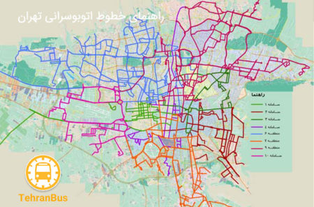
12) Transportation
Support for urban planning, fleet and traffic.
Including:
Road network
Public transport lines
Traffic data
Transportation bases
13) Energy management
Monitoring and development of energy infrastructure.
Including:
Distribution networks
Renewable energy sources
Monitoring energy consumption
Infrastructural capacity of regions
14) Culture and art
Cultural recognition and planning of urban events.
Including:
Cultural and art centers
Museums
Exhibition halls
Cultural events and capacities